Introducing the gIntelligence Platform
The gIntelligence mapping and analytics platform gives you the power to visualize your data and gather valuable analytics in a secure, scalable and shareable environment. Our next generation technology allows you to focus on the important issues of asset safety and performance and understanding how drone, vehicle or manually captured data can unlock valuable analytics and mission critical insights every day. With the addition of Machine Learning and a powerful AI Engine, Computer Vision Assist™ provides help in finding defects and features of interest in the inspection process.
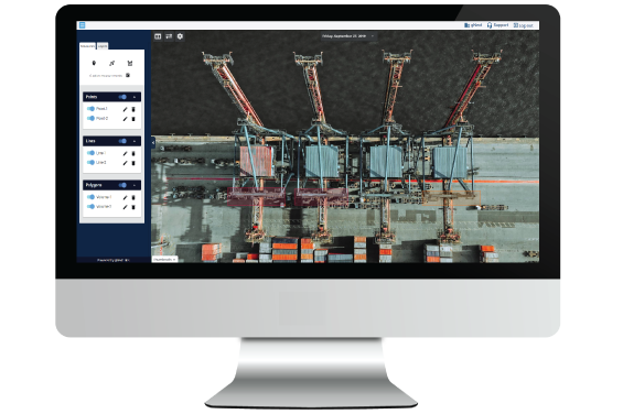
Perform Faster, More Accurate
Inspections
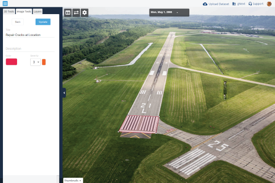
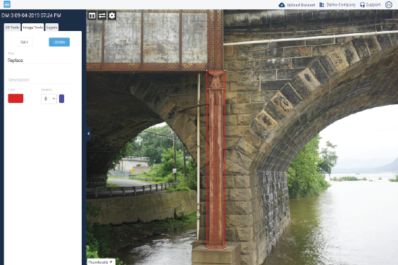
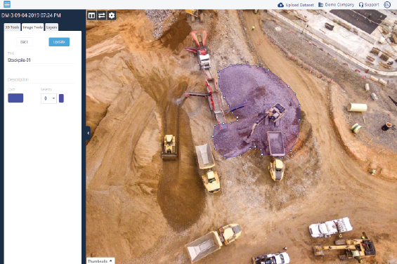
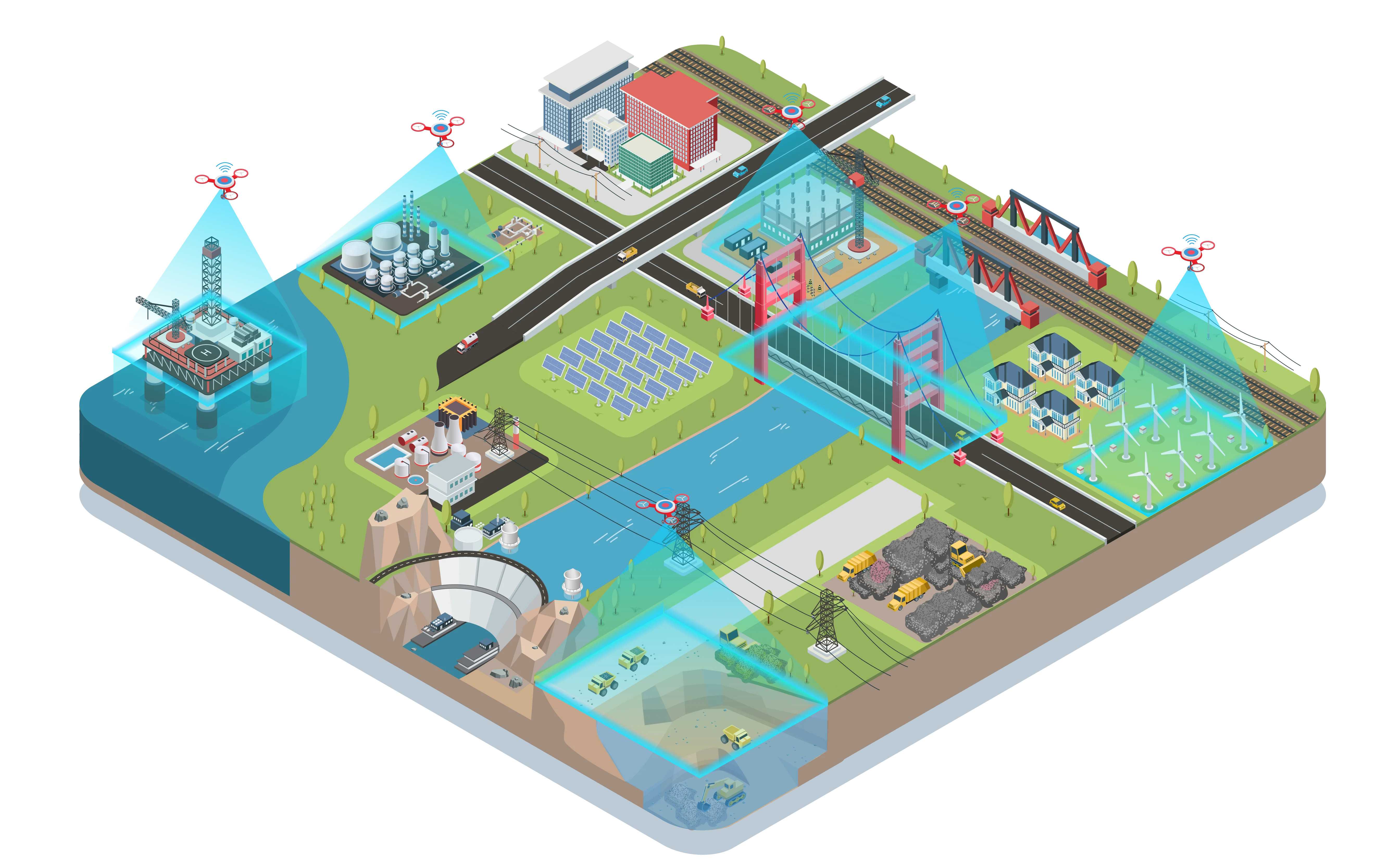
gIntelligence converts video and images into accurate digital models. The platform provides dynamic mapping and analytics for Infrastructure Inspection, Environmental Assessment, Waste Management, Rail, Construction, and Surveyors & Consultants.
Easy, Secure Access with Cloud-
Based Security
Access your projects from anywhere, anytime. End-to-end encryption keeps your data safe and secure. Empower your team to collaborate on projects with all your data in one safe, convenient place.
Engineered to Cover a Wide Array of Infrastructure Types
Inspect · Advantage · Today
gIntelligence Platform Advanced Features
- Visualize your data in 3D, Point Clouds, Digital Elevation Models (DEM), Plan View or Mesh.
- Browser based visualization – no software downloads required.
- Secure, cloud-based storage and archiving.
- Built-in analysis tools.
- Calculate volumes, measure distances, grades and more. New features are added on a regular basis.
- Change-over-time visualization capability.
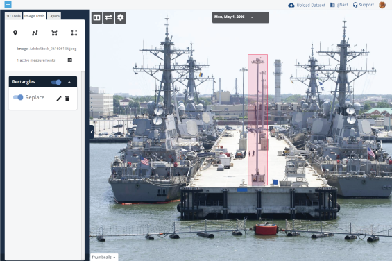
- Draw and annotate directly on your model to communicate with team members.
- Machine Learning capability provides for Artificial Intelligence assistance.
- Multi-format support for input and output - Export your models to JPEG, DXF, GeoTIFF, LAZ or OBJ.
- Expert support and project assistance available.

